Geographical Information Systems

Managing spatial data can be complex and expensive, especially for housing associations. ODCGIS understands these challenges and offers tailored Geographic Information System (GIS) solutions to fit your specific needs and budget. We partner with leading GIS providers to offer a flexible approach, ensuring you invest in the most appropriate software and can adapt as your requirements evolve.


We offer solutions from the following providers:

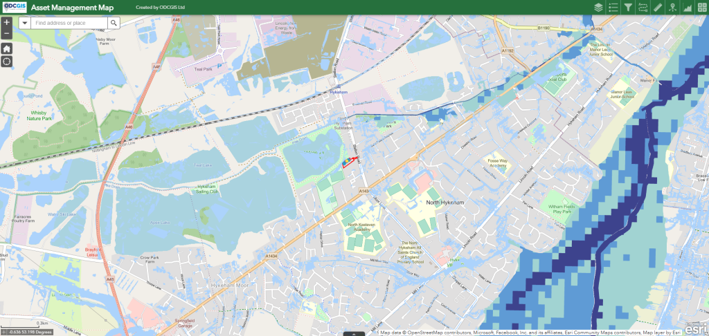
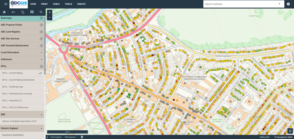
ESRI: The Industry Standard in GIS

ESRI (Environmental Systems Research Institute) is a global leader in GIS software and technology. Their comprehensive ArcGIS platform provides a powerful suite of tools for managing, analysing, and visualising geospatial data. We can help you implement the right ArcGIS products for your organisation:

  • ArcGIS Pro: Advanced desktop GIS for spatial analysis, 3D visualisation, and data editing.
  • ArcGIS Online: Cloud-based platform for creating, sharing, and using maps and geospatial data.
  • ArcGIS Enterprise: Server-based platform for managing and deploying GIS services within your organisation.
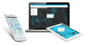
  • ArcGIS Mobile: Mobile apps for field data collection, navigation, and map viewing.


ESRI’s software is used worldwide across various sectors, empowering users to understand spatial patterns, make informed decisions, and solve complex geographical challenges.

XMAP: Tailored for Housing Associations

ODCGIS is the exclusive distributor of XMAP within the housing sector. This cloud-based GIS, developed by Geoxphere, is specifically designed to help housing associations embark on their GIS journey and effectively manage, analyse, and share geospatial data.

XMAP offers a comprehensive suite of tools and services, enabling you to:

  • Improve operational efficiencies
  • Enhance decision-making
  • Engage with your community
  • Simplify data management
  • Enhance collaboration
  • Promote efficient service delivery


XMAP’s cloud-based platform eliminates the need for expensive hardware and software, making it a cost-effective solution for housing associations.

GIS Cloud: Accessible and Flexible GIS

GIS Cloud provides a cloud-based platform offering a range of GIS tools and services. 

It allows you to store, analyse, and visualise geospatial data without the need for traditional desktop software. With features including map creation, data editing, spatial analysis, and collaboration tools, GIS Cloud offers a flexible and accessible solution for various applications.


Contact us today to discuss your GIS needs and find the perfect solution for your housing association.

Contact