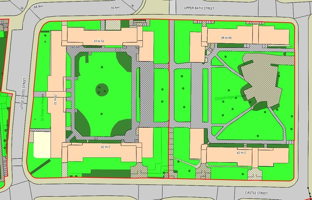
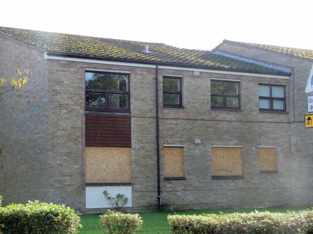
Grounds Maintenance capture offers so many benefits across an organisation that there is no excuse not to have it done! Many of the benefits here are shared with other departments
Once you have had your estates grounds maintenance information captured within a GIS, it is then possible to analyse the data. This could be creating bills of quantity for each site and running further analysis to understand the true costs of the service to that estate or to an individual property.
Lots of housing organisations are looking at ways to improve their service charges and make them more transparent for their tenants. GIS enables them to do this and also share maps with them so it’s easy to understand exactly what you are responsible for and what the service charge includes.


Identify where problems are present, look for trends of emigration suggesting that the area itself presents a problem. Analysing this alongside termination reasons provides valuable insight.
This could be checking the condition of assets or looking for potential hazards and risks.
GIS creates a way to collect data out in the field where survey forms can be created to your specification. Collecting information such as overall condition of an estate, as well as individual elements such as footpath defects.


GIS is generally the tool used for conducting tree surveys enabling the surveyor to capture the exact location of all trees within your ownership. However a lot of the software you get with this data only shows the tree survey data.
Capturing the survey direct from the GIS using mobile forms allows you to collect the exact information you require. You can then analyse it and compare with other data or past surveys.